Rome, Italy · June 1–3, 2026

GeoField 2026 Sessions

Watch session recordings from the GeoField 2026 convening at FAO Headquarters in Rome.

20 session recordings · FAO Headquarters | Rome, Italy

  1. GeoField 2026 Session

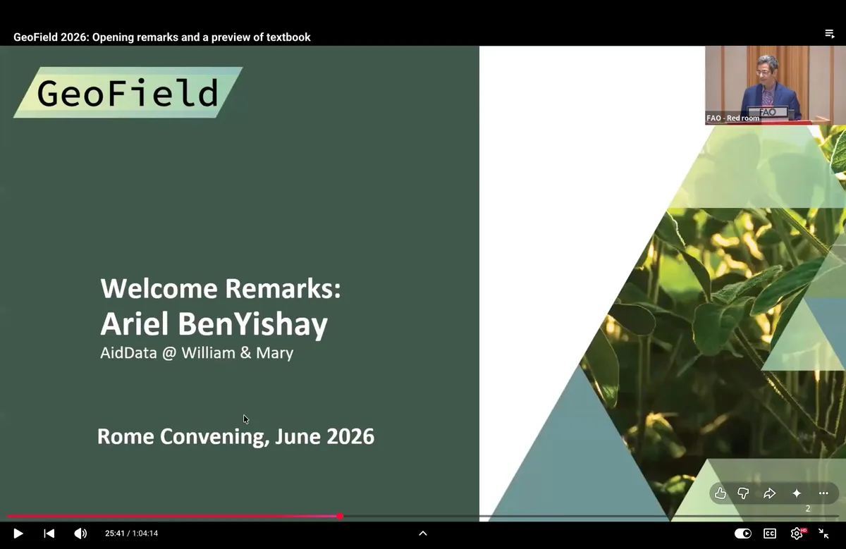
    Session 1: Plenary Welcome + Keynote

    This opening session introduces the goals of the GeoField 2026 Convening and the growing role of Earth observation in impact evaluation. Speakers from FAO, AidData, the Journal of Development Economics, and partner institutions make the case for geospatial impact evaluation as a way to generate evidence at larger scale, over longer time horizons, and in settings where traditional field data collection is increasingly difficult.

    The session also previews Geospatial Impact Evaluation in Practice, an open-access textbook developed by 80 contributors. The book brings together foundations, methods, and applied use cases to help researchers, practitioners, and decision-makers integrate geospatial data into evaluation and policy learning.
    Watch session
  2. GeoField 2026 Session

    Session 2: GeoField Use Case Presentations

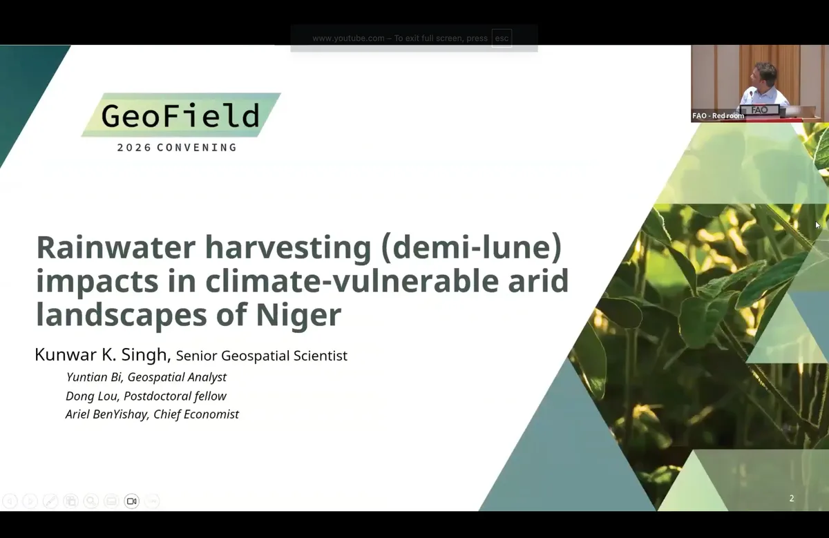
    This session showcases three geospatial impact evaluation use cases focused on agriculture, land restoration, and resilience in dryland and conflict-affected contexts. The first presentation examines the long-term landscape impacts of demi-lune rainwater harvesting in Niger, using high-resolution imagery, Landsat-based vegetation and moisture indices, and a staggered difference-in-differences design.

    The second presentation introduces an ongoing randomized controlled trial in Niger on farmer-managed natural regeneration, land rights certification, and reforestation outcomes. The third presentation evaluates canal rehabilitation in Somalia by combining remote sensing, synthetic control methods, and household survey data to assess whether irrigation infrastructure improvements translated into detectable changes in water availability, vegetation, and household outcomes.

    Watch session
  3. GeoField 2026 Session

    Session 3: GeoField Use Case Presentations

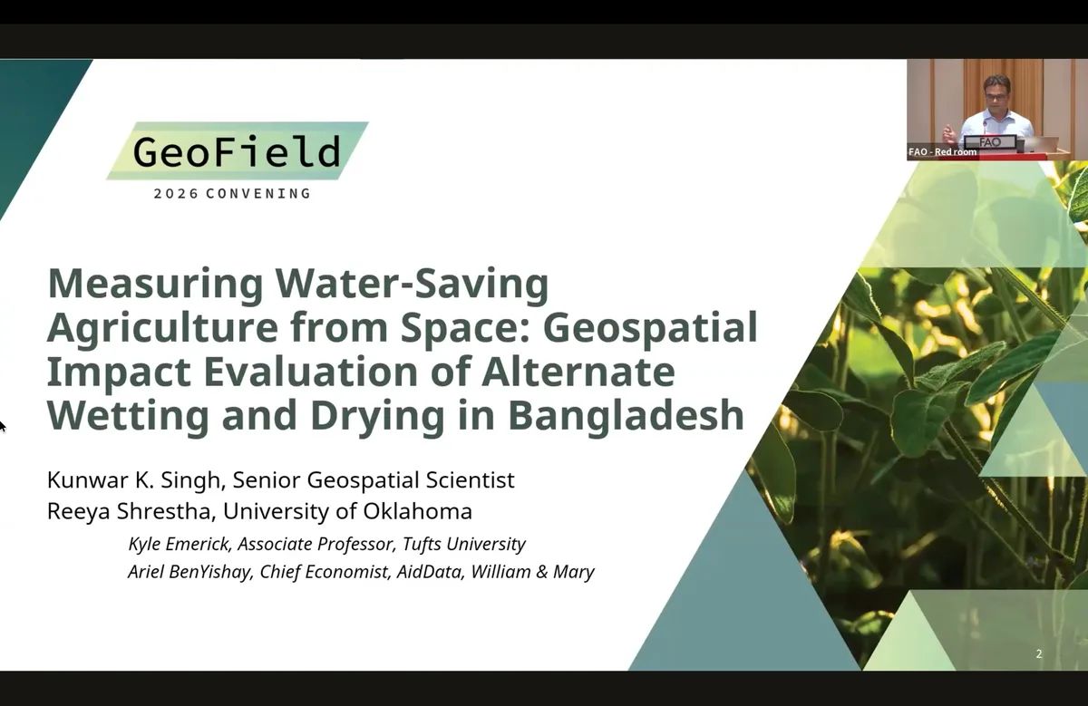
    This session highlights three applied studies using Earth observation to strengthen evaluation of climate-smart agriculture, input management, and crop insurance. The first presentation evaluates alternate wetting and drying for irrigated rice in Bangladesh, using satellite-derived evapotranspiration to assess whether water savings observed in randomized trials can be detected at landscape scale.

    The second presentation examines leaf color charts as a low-cost tool to improve nitrogen fertilizer management among cotton and rice farmers in India. The third presentation explores mutual weather index crop insurance in northern Nigeria and assesses how satellite-derived crop condition estimates could support insurance design, validation, and farmer decision-making.

    Watch session
  4. GeoField 2026 Session

    Session 4: GeoField Use Case Presentations

    This session explores how geospatial impact evaluation can be applied to agricultural resilience interventions across diverse contexts. The first presentation examines whether sugarcane cultivation along flood-prone riverbanks in Nepal reduced environmental risk and supported disaster risk reduction goals.

    The second presentation revisits the adoption and impact of submergence-tolerant rice in Bangladesh, highlighting both the promise and difficulty of using Earth observation to detect crop variety adoption at scale. The final presentation evaluates an emergency sweet potato seed aid program in Ethiopia, combining household survey data with high-resolution satellite imagery and deep learning to assess whether farmers continued growing sweet potatoes after the project ended.

    Watch session
  5. GeoField 2026 Session

    Session 5a: Journal of Development Economics Special Issue A

    This session features research papers from a special issue of the Journal of Development Economics focused on geospatial impact evaluation. The first presentation uses remote sensing to estimate war-induced damage to agricultural cultivation in Ukraine and compares satellite-based measures with media-based conflict indicators.

    The second presentation links randomized trial data to Earth observation outcomes to study whether a climate-smart rice fertilizer technology in Nigeria affected productivity and deforestation. The final presentation evaluates irrigation infrastructure along the Senegal River, using administrative project data and Landsat imagery to measure long-run cultivation outcomes and understand why some irrigation projects succeed while others remain underused.

    Watch session
  6. GeoField 2026 Session

    Session 5b: Journal of Development Economics Special Issue B

    This research session highlights how Earth observation and geospatial methods can make hard-to-measure risks and externalities visible. The first presentation examines how gas flaring in Nigeria affects crop yields, agricultural labor productivity, labor allocation, and air pollution.

    The second presentation evaluates the economic impacts of landmine clearance in Afghanistan, including effects on nighttime lights, land use, agricultural intensity, and conflict. The third presentation studies whether data-driven agricultural insurance zones can improve farmer welfare compared with administrative boundaries. The final presentation estimates the downstream effects of mining on vegetation and agricultural productivity across Africa.

    Watch session
  7. GeoField 2026 Session

    Session 6a: Selected GIE in Practice Chapters - Causal Methods

    This session presents methods chapters from the forthcoming GeoField textbook, with a focus on making causal inference and Earth observation accessible to researchers and practitioners. The first presentation introduces counterfactuals, causal inference, and major impact evaluation designs, including randomized controlled trials, matching, difference-in-differences, regression discontinuity, and synthetic control.

    The second presentation offers a practical guide to spatial difference-in-differences, using a development policy in India as a running example. The third presentation explains how randomized controlled trials can be designed to incorporate remote sensing data, highlighting both the opportunities for increased power, broader measurement, and longer-term tracking, as well as the risks of bias when ground data and linkage data are insufficient.

    Watch session
  8. GeoField 2026 Session

    Session 6b: GIE in Practice Chapters - Geospatial Practices

    This session focuses on the methodological foundations needed to use Earth observation data responsibly in geospatial impact evaluation. The first presentation examines the use and misuse of gridded weather, temperature, vegetation, drought, and flood data, emphasizing that remote sensing products are constructed measurements rather than direct observations of truth.

    The second presentation introduces advanced geospatial analytics for impact evaluation, including preprocessing, scale, sensor fusion, interpolation, feature extraction, machine learning, deep learning, cloud computing, and transparent workflows. The final presentation explores the promise and pitfalls of geospatial foundation models for generating features, indicators, embeddings, and outcome measures in data-scarce settings.

    Watch session
  9. GeoField 2026 Session

    Session 7a: GIE in Practice Chapter - Hands-on Session A

    This workshop introduces participants to a practical geospatial impact evaluation workflow using an applied case from Madagascar. The case examines whether biodiversity offset sites associated with the Ambatovy nickel and cobalt mine reduced deforestation enough to compensate for forest loss caused by the mine.

    Participants work through the impact evaluation steps in R, including data preparation, pixel-based matching, covariate balance checks, parallel trends testing, site-level difference-in-differences, and robustness checks. The session emphasizes the many research design decisions involved in evaluating forest conservation outcomes, from selecting outcome data and control areas to interpreting effect sizes and testing whether results depend on modeling choices.

    Watch session
  10. GeoField 2026 Session

    Session 7b: GIE in Practice and Geospatial Location Data

    This session focuses on the practical foundations of geospatial impact evaluation: knowing where interventions occur, defining how treatment is assigned, and anticipating ethical risks. The first presentation introduces a proposed location-data standard linked to the International Aid Transparency Initiative, designed to make project and activity locations more usable across development institutions.

    The second presentation introduces “treatment geometry” as a framework for translating causal questions into spatial and temporal treatment definitions. The final presentation presents a geospatial ethics and social accountability rubric intended to help researchers assess ethical risks across the GIE lifecycle, from design and data collection to analysis, interpretation, and dissemination.

    Watch session
  11. GeoField 2026 Session

    Session 8a: GIE in Practice Chapter - Hands-on Session B

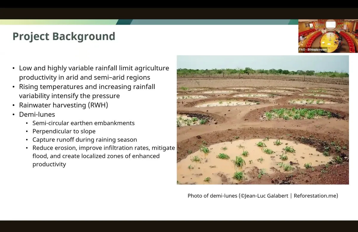
    This workshop introduces a practical workflow for evaluating rainwater harvesting structures using Earth observation and causal inference methods. The case focuses on demi-lunes, semicircular earth embankments designed to capture runoff, increase water infiltration, and improve vegetation growth in dryland environments.

    Participants work through an R-based analysis using matched treatment and comparison grid cells, Landsat-derived NDVI and soil moisture indices, and a staggered difference-in-differences design. The session emphasizes how to construct comparable treatment and control groups in data-scarce settings, handle interventions rolled out at different times, and test whether results are robust to spatial spillovers and baseline environmental conditions.

    Watch session
  12. GeoField 2026 Session

    Session 8b: GIE in Practice Chapters - Case Studies

    This session highlights three textbook case studies that demonstrate how geospatial impact evaluation can be applied in data-constrained and policy-relevant settings. The first presentation uses synthetic difference-in-differences to evaluate irrigation infrastructure in Niger, where limited field access made remote sensing essential.

    The second presentation estimates the causal impact of illegal small-scale mining on deforestation in Ghana, using mining footprints, forest loss data, and matched difference-in-differences. The final presentation provides a reproducible framework for measuring the local economic impacts of typhoons in Vietnam using storm-track data and nighttime lights.

    Watch session
  13. GeoField 2026 Session

    Session 9a: FAO: Leveraging EO for Monitoring & Impact Evaluation

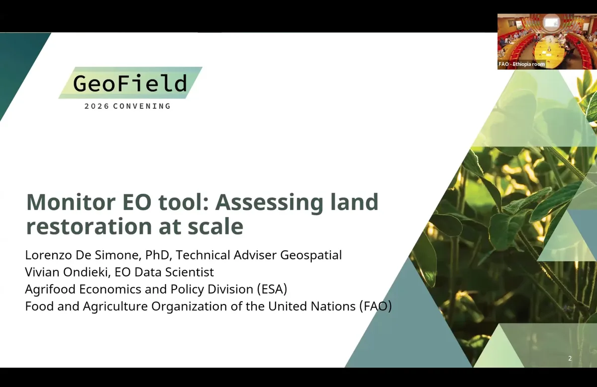
    This session focuses on practical applications of Earth observation for monitoring and evaluation across restoration, emergency response, and climate resilience programming. The first presentation introduces MonitorEO, a tool for tracking ecological trends in nature-based carbon offsetting and restoration projects using multi-indicator Earth observation time series.

    The second presentation presents FAO’s work on flood intelligence, moving beyond flood detection to identify whether observed water is expected, seasonal, persistent, or anomalous. The final presentations discuss ongoing evaluation designs for Green Climate Fund projects in Benin and Bolivia, including water infrastructure, farmer field schools, irrigation, agroforestry, and plot-level geospatial data collection.

    Watch session
  14. GeoField 2026 Session

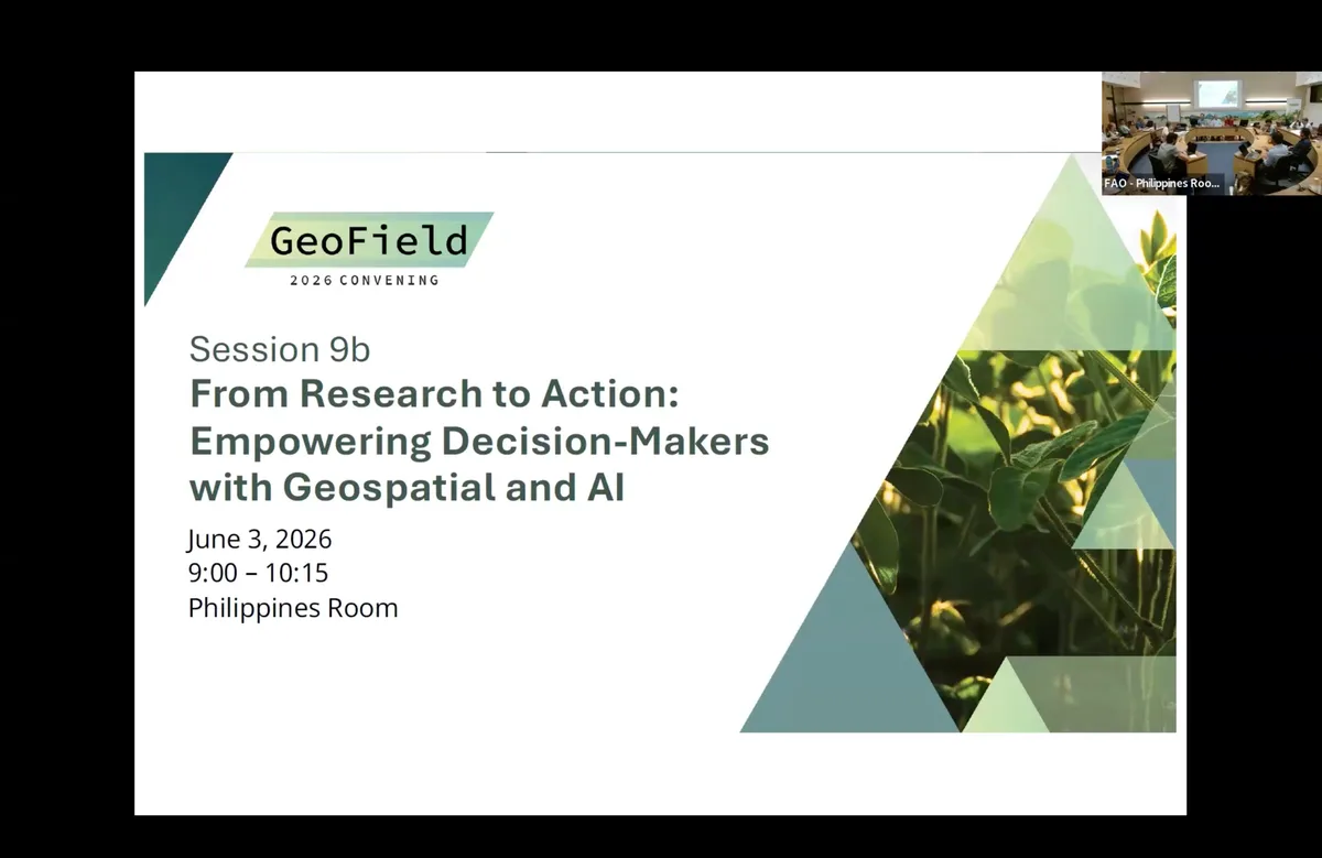
    Session 9b: Bridging Research and Policy: A Practitioner-Led MOOC on Geospatial Impact Evaluation for Decision-Makers

    This session looks beyond the GeoField textbook and research agenda to ask how geospatial evidence can reach policy and operational audiences. Representatives from Agence Française de Développement, the European Space Agency, and Data Terra introduce plans for a massive open online course focused on geospatial AI and development.

    Participants discuss the course title, target audience, format, duration, learning pathways, and the types of content most likely to engage decision-makers. The session emphasizes practical use cases, short modular formats, decision-relevant framing, and the need to distinguish between high-level decision-makers and the technical teams who advise them.

    Watch session
  15. GeoField 2026 Session

    Session 10a: IFAD: Integrating Earth Observation into Long-Term Impact Evaluation

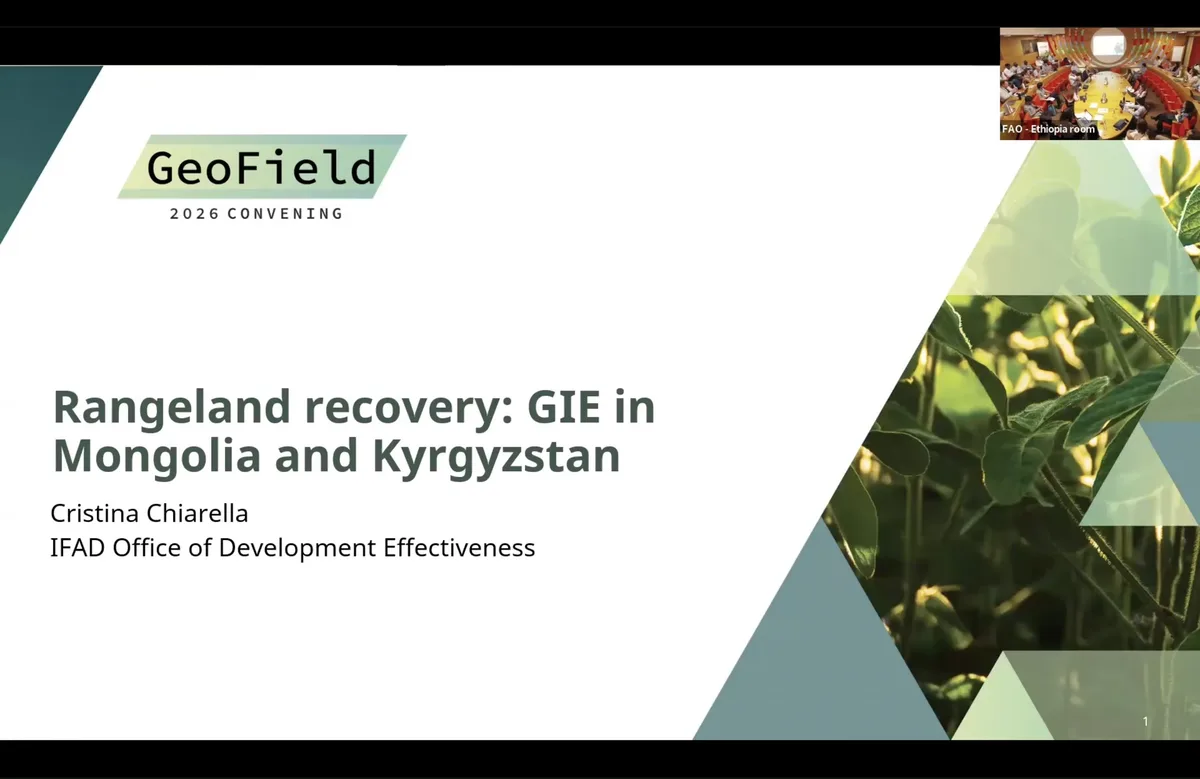
    This session presents IFAD’s emerging work to use Earth observation and geospatial data for long-term impact evaluation, sustainability assessment, and operational decision-making. The first presentation examines pasture and rangeland recovery projects in Mongolia and Kyrgyzstan, using satellite-derived vegetation outcomes to assess whether benefits persist after project completion.

    The second presentation discusses long-term evaluation of irrigation investments in Ethiopia, the Philippines, and Cabo Verde, highlighting both the promise of geospatial analysis and the challenges of reconstructing treatment areas after project closure. The third presentation combines Earth observation with qualitative institutional analysis to assess the sustainability of pasture development projects in Tajikistan and Tunisia. The final presentation introduces IFAD’s GUIDE and CAPEO initiatives, which aim to embed Earth observation into routine project data systems, field validation, investment mapping, and operational monitoring.

    Watch session
  16. GeoField 2026 Session

    Session 10b: Using Open GIS Tools for Conservation IE

    This session highlights operational uses of geospatial data for conservation and land-related decision-making. The first presentation explores a scalable indicator for wildlife corridor connectivity, using human modification data to assess movement resistance across a transboundary landscape in Kenya and Tanzania.

    The second presentation shows how Madagascar National Parks uses calibrated forest maps, corrected protected area boundaries, satellite alerts, and ranger communication systems to monitor fire and deforestation. The third presentation discusses a workflow for integrating geospatial models, field evidence, and stakeholder knowledge into coastal conservation planning in Haiti. The final presentation introduces a Land Portal dashboard prototype that links IATI development finance data with land governance themes and potential geospatial outputs.

    Watch session
  17. GeoField 2026 Session

    Session 11a: Focus on Africa

    This panel explores how Earth observation and geospatial impact evaluation can be applied across African contexts. Panelists highlight high-potential sectors, including smallholder agriculture, land restoration, mining and deforestation, disaster risk management, infrastructure, agricultural insurance, climate finance, and protected area management.

    The discussion also addresses barriers to broader adoption, including institutional capacity, data validation, political sensitivity, infrastructure constraints, fragmented administrative data, and the need to embed geospatial information into routine government systems. Panelists emphasize that the future of GIE in Africa depends not only on better technology, but also on local ownership, trusted data, functional partnerships, and sustained capacity building.

    Watch session
  18. GeoField 2026 Session

    Session 11b: Focus on South Asia

    This panel examines the promise and practical challenges of using Earth observation and geospatial impact evaluation across South Asia. Panelists identify high-potential applications in climate finance, agricultural insurance, urbanization, housing, transportation, crop monitoring, flood and drought response, air pollution, and stubble burning.

    The discussion also considers what it would take to move from pilots to institutional adoption. Panelists emphasize the need for harmonized data systems, practical capacity building, credible use cases, triangulation with survey and administrative data, and more democratic data governance that serves citizens and communities as well as governments and donors.

    Watch session
  19. GeoField 2026 Session

    Session 12a: Special Topic: Deforestation Monitoring

    This session brings together three presentations on the data systems needed to monitor land use change and support sustainable commodity supply chains. The first presentation reviews advances in global land cover and land use monitoring, including forest loss, crop expansion, commodity mapping, tree height, alerts, and sample-based area estimation.

    The second presentation introduces digital public infrastructure for sustainable agricultural supply chains, including open standards, geospatial identifiers, field data tools, and APIs that help combine global, regional, and national datasets. The final presentation examines how Earth observation can support compliance with the European Union Deforestation Regulation, using a Honduras coffee case study to test how different geolocation and deforestation-detection tools perform against a high-quality benchmark.

    Watch session
  20. GeoField 2026 Session

    Session 12b: Special Topics 2: Open Invitation

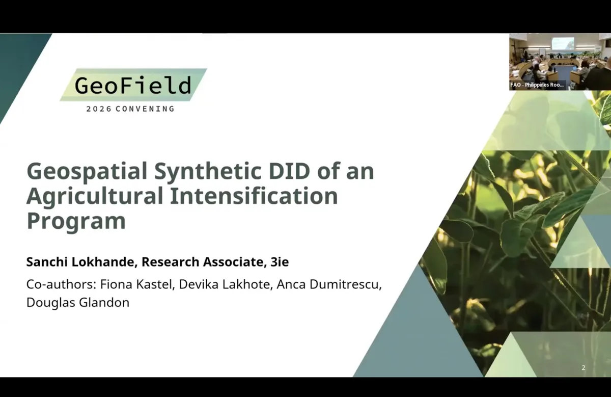
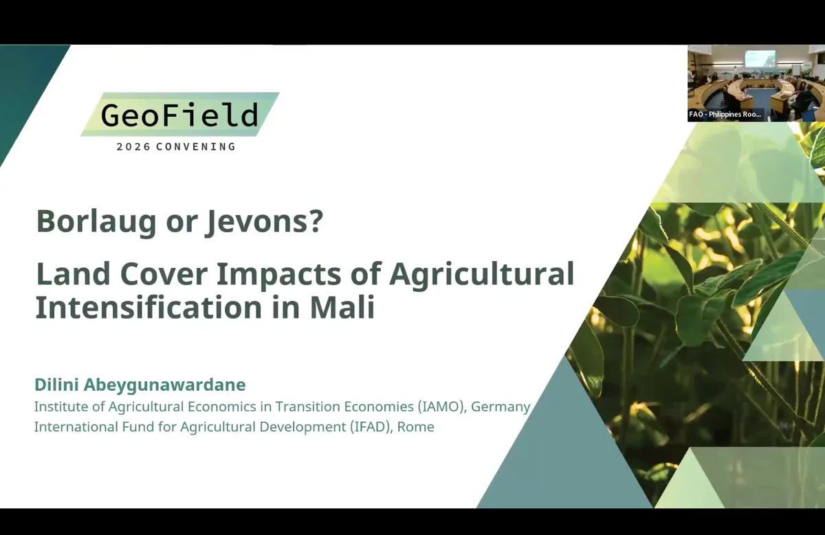
    This session features four open-call presentations on the use of Earth observation in agricultural and environmental analysis. The first presentation evaluates the land cover impacts of an agricultural intensification project in Mali, examining whether intensification leads to land saving or rebound effects.

    The second presentation examines how rainfall is used in economics research, showing that choices about rainfall metrics and remote sensing products can substantially affect results. The third presentation develops a geospatial framework for identifying environmentally stressed agricultural regions in biodiversity-rich landscapes in Assam, India. The final presentation presents FAO’s work to build operational Earth observation infrastructure for crop mapping, yield forecasting, drought monitoring, and farmer registries in Senegal and Zimbabwe.

    Watch session