Conversations with four peer INGOs confirm that the main barriers to geospatial impact evaluation readiness are organizational rather than technical, and are best addressed through reporting-linked data collection, cultivated champions, and stronger partnerships.
We are pleased to share that a special issue focused on integrating Earth observation into impact studies on agriculture and climate change is now available in the Journal of Development Economics.
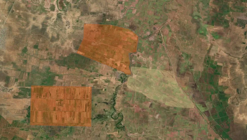
How synthetic controls helped test whether irrigation rehabilitation delivered results in Somalia
When canal rehabilitation in Somalia didn't produce expected vegetation changes, satellite-based water indices revealed why: water wasn't reaching downstream fields. This study demonstrates how synthetic controls and remote sensing can evaluate infrastructure programs in conflict-affected settings, even retrospectively.
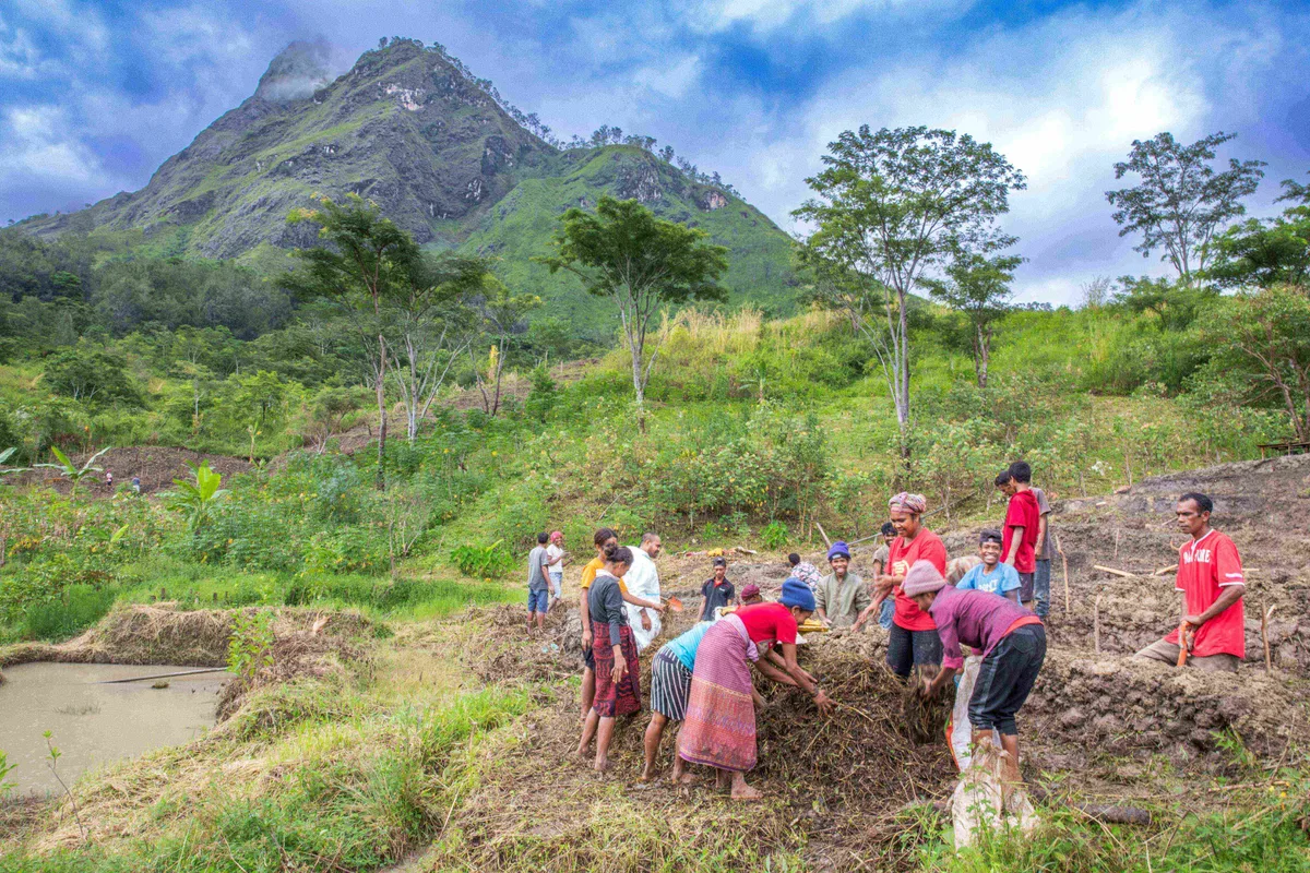
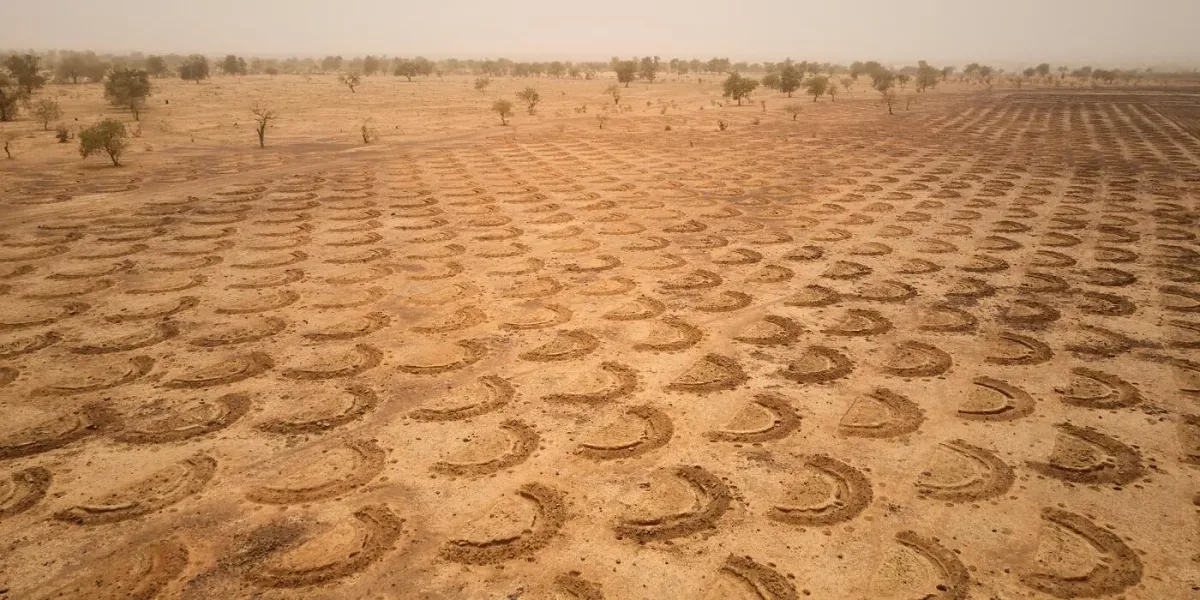
Evaluating Rainwater Harvesting for Lasting Resilience in Africa’s Drylands
Rainwater harvesting offers a lifeline for farmers in Africa’s drylands, but a new study shows that evidence on its long-term impact remains limited. By combining Earth observation with on-the-ground evaluation, researchers call for smarter, data-driven investments that build real resilience across the region.
An in-depth look at what geospatial impact evaluation revealed about the spread of sugarcane farming and why erosion outcomes proved harder to detect over time.
An in-depth look at what geospatial impact evaluation revealed about the spread of sugarcane farming and why erosion outcomes proved harder to detect over time.
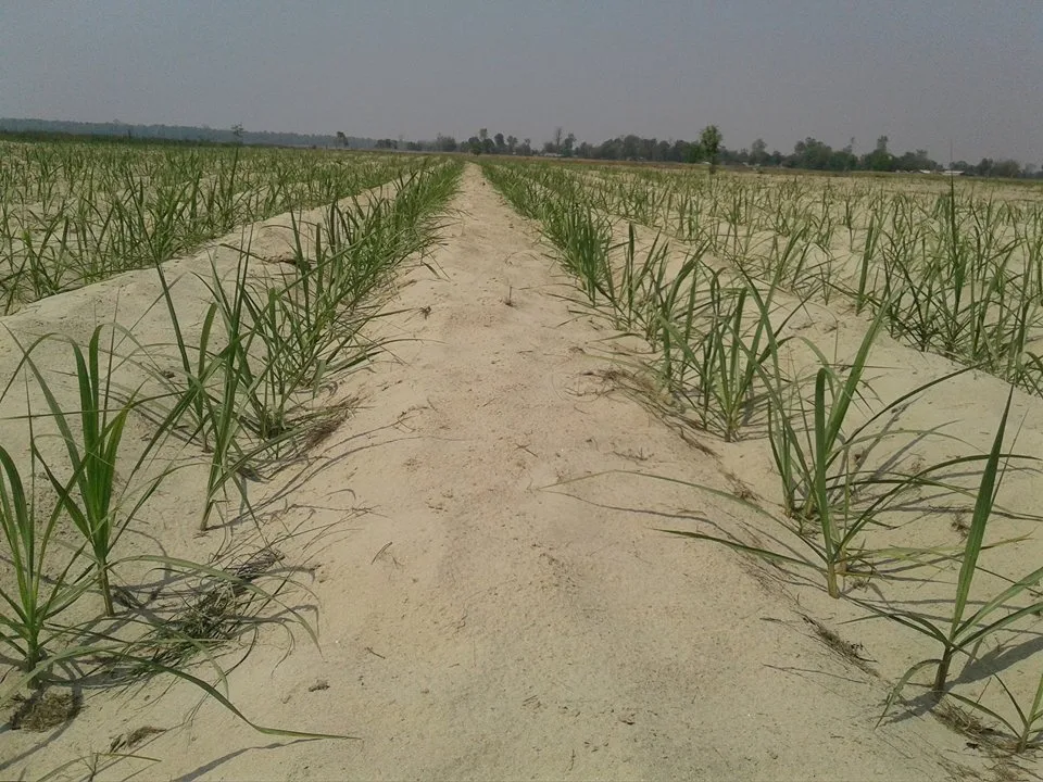
A closer look at how satellite data and spatial analysis were used to evaluate sugarcane adoption and environmental impacts in flood-prone Nepal
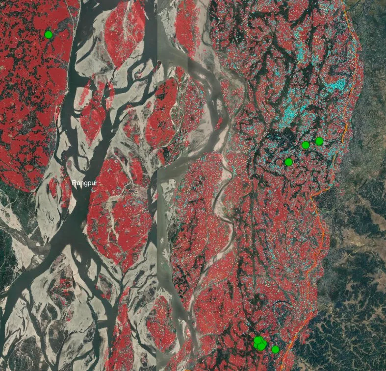
AidData researchers evaluated sugarcane adoption in flood-prone Nepal using satellite imagery and geospatial impact evaluation. While uptake was strong in target and nearby communities, environmental outcomes like erosion control and riverbank stabilization were harder to detect. The findings point to the need for long-term monitoring and complementary interventions.
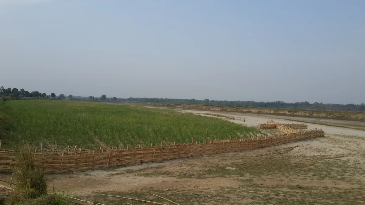
A GeoField case study in Bangladesh tested whether satellite imagery could detect Sub1 rice, a flood-tolerant variety. The evaluation revealed both the promise and limits of using Earth observation to track climate-resilient crops.
In this blog, we trace how researchers from DevGlobal, AgriTech, and IRRI explored whether satellite data could identify where Sub1rice had been planted and measure its effectiveness. Along the way, the team encountered key data and design challenges that offer lessons for future EO-based evaluations.
A GeoField workshop at William & Mary brought together leading experts in impact evaluations and sustainable agriculture to share use cases and collaborate on a groundbreaking textbook.
A GeoField workshop at William & Mary brought together leading experts in impact evaluations and sustainable agriculture to share use cases and collaborate on a groundbreaking textbook.
AidData is driving climate resilience within GeoField, leveraging geospatial technology to empower sustainable agriculture and adaptation strategies worldwide.
Reece Williams, Nicole Hunt, Matt Hallas, David Bergvinson, Ariel BenYishay, Kunwar Singh
Mercy Corps is transforming program data into actionable insights within GeoField, pioneering resilience-based solutions through geospatial impact evaluations (GIEs) across humanitarian contexts.
Mercy Corps is transforming program data into actionable insights within GeoField, pioneering resilience-based solutions through geospatial impact evaluations (GIEs) across humanitarian contexts.
The Geofield Community of Practice discusses the utilization of hyperspectral sensors and drones to the technical challenges surrounding spatial autocorrelation, resampling satellite imagery, and yield prediction using remote sensing data
On March 21, 2024, the GeoField community of practice came together in a virtual workshop focused on technical issues arising when integrating Earth observation (EO) into impact evaluations. Organized by AidData, 3ie, and DevGlobal, the event brought together experts in EO and those specializing in impact evaluations and climate-sensitive agriculture. The conversations covered a range of topics, from the utilization of hyperspectral sensors and drones to the technical challenges surrounding spatial autocorrelation, resampling satellite imagery, and yield prediction using remote sensing data.
Continuing a frank conversation about geospatial impact evaluations with experts from the GeoField 2023 convening
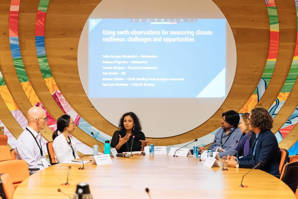
Panelists in one of the GeoField 2023 sessions held a frank discussion about the most promising GIE innovations, as well as the most challenging difficulties in measuring agricultural program outcomes in Africa.
We’re making major leaps forward in integrating valuable data from new sensors and satellites into evaluations of urgently needed agriculture and climate programs.
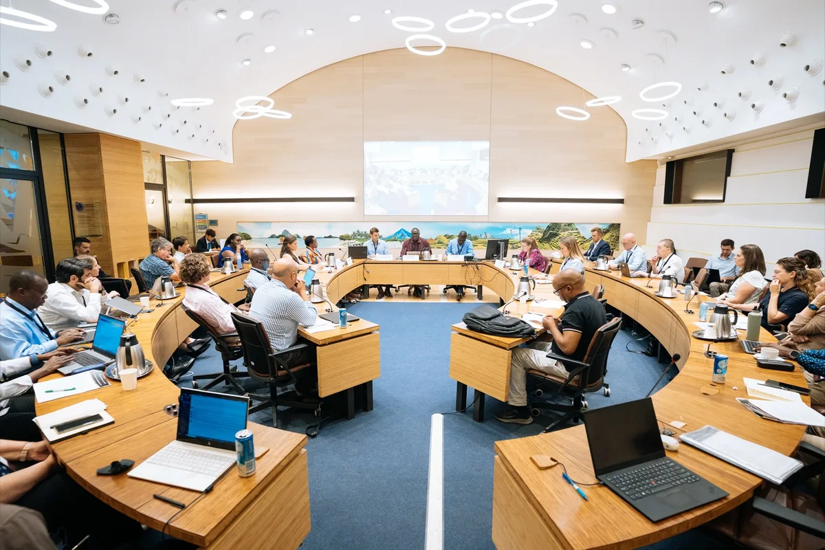
At our recent GeoField Convening in Rome, we met with colleagues from across the globe at the headquarters of the UN’s Food and Agricultural Organization (FAO) to discuss the opportunities and the challenges for integrating Earth Observation (EO) into impact evaluations, especially for urgently needed agricultural and climate-related programming.
Emerging from the successful GeoField Convening in September in Rome, two prestigious academic journals have issued calls for papers at the intersection of climate change, and agriculture.
Alex Wooley
Join our community of practice
A space for impact evaluators, remote sensing experts, and field organizations to brainstorm and problem solve about how Earth observation can lead to program insights that solve real world, long-running challenges of climate adaptation and agricultural development.