
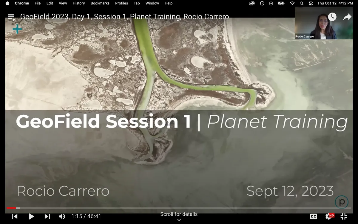
This training session will cover a walkthrough of the Planet Data Visualization Platform "Explorer" as well as introduce the audience to Planet medium and high resolution imagery, ie., PlanetScope (3.7 m) and SkySat (0.5 m). We will discuss temporal, spatial, and spectral capabilities of the two types of data, including examples of agriculture production areas.
Recording archive
FAO Headquarters | Rome · September 12-14, 2023
GeoField Convening: Leveraging Earth Observation for Impact Evaluations of Climate-Sensitive Agriculture
Session Recordings
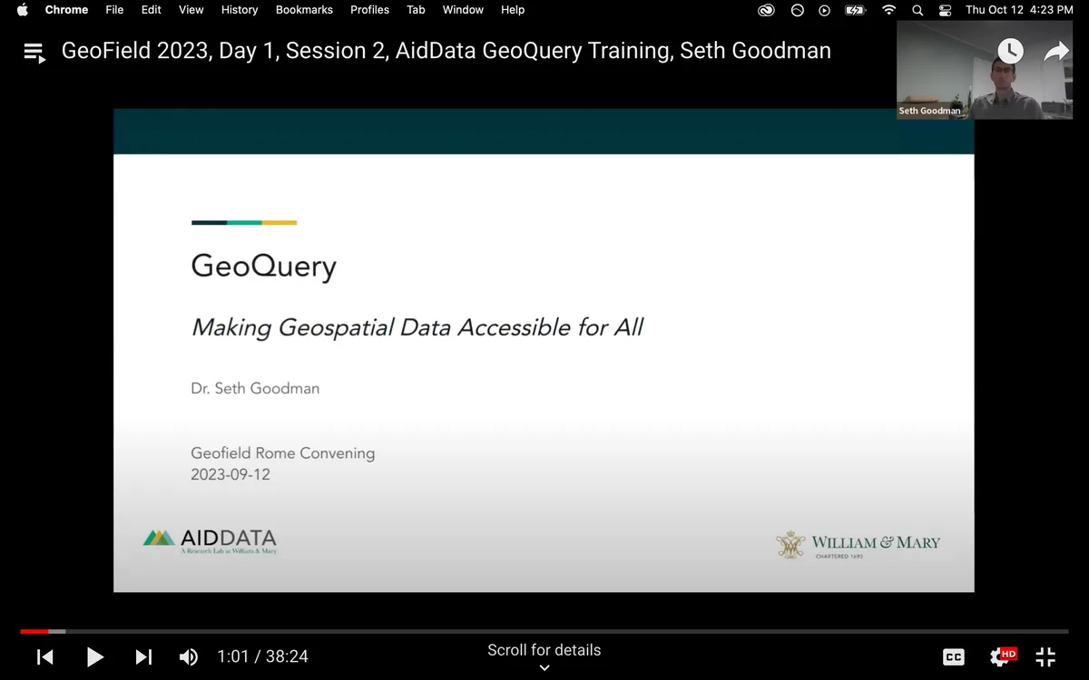
In this training session we will explore AidData’s free website for accessing geospatial data: GeoQuery. GeoQuery enables individuals and organizations of all skill levels to freely find and aggregate satellite, economic, health, conflict, and other spatial data into a single, simple-to-use file compatible with Microsoft Excel and other common software. We will explore the basic functionality of GeoQuery, and demonstrate how to find and access data to support your own work, including geospatial impact evaluations.
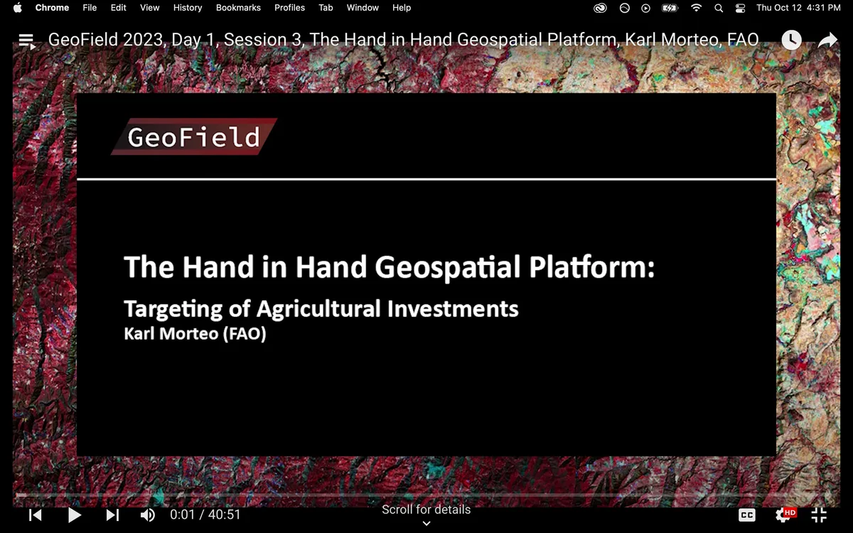
The aim of this session is to introduce the hand-in-hand initiative approach, methodology and the geospatial platform. The Hand-in-Hand initiative's objective is to identify and actualize the biggest opportunities to raise the incomes and reduce the inequities and vulnerabilities of rural populations, who constitute the vast majority of the world's poor. The presentation will cover agricultural typologies and suitability assessments with examples and provide a demonstration of the platform.
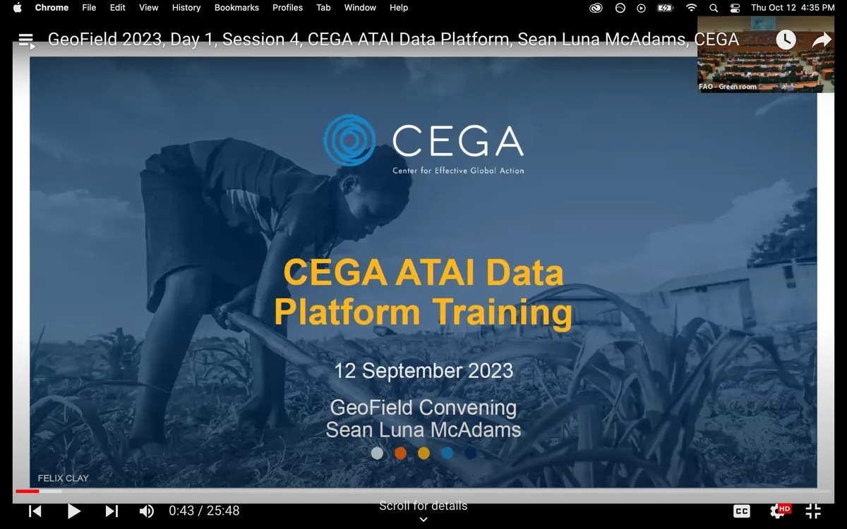
Since 2009, the Agricultural Technology Adoption Initiative (ATAI), co-managed by the Center for Effective Global Action (CEGA) and the Abdul Latif Jameel Poverty Action Lab (J-PAL), has actively generated evidence by funding randomized evaluations, to understand impacts of agricultural technologies, on small-scale farmer welfare. ATAI is launching a new open data platform to bring together the best evidence from ATAI-funded research in a single portal, making it easily accessible to researchers and policymakers alike. The ATAI Data Portal goes beyond the principles of open data by incorporating data harmonization. Users can easily download data at the right level of analysis, filter studies based on outcomes or other covariates of interest. The portal also easily allows users to join relevant environmental indicators to the downloaded data using existing geocoordinates in the data. The initiative aims to foster collaboration and evidence-based decision-making in the agricultural sector, ultimately contributing to the advancement of agricultural practices and farmer welfare.
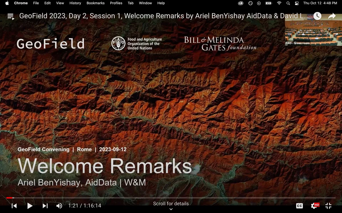
Dr. Ariel BenYishay, AidData Chief Economist, and Dr. David Laborde, FAO Director of Agrifood Economics Division, will provide opening remarks to welcome participants to the GeoField convening and give an overview of the agenda.
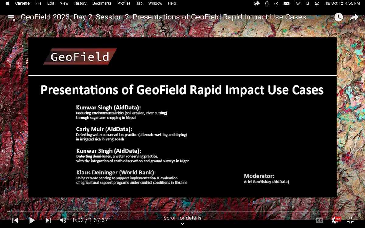
Kunwar Singh (AidData):
"Reducing environmental risks (soil erosion, river cutting) through sugarcane cropping in Nepal."
Carly Muir (AidData):
"Detecting water conservation practice (alternate wetting and drying) in irrigated rice in Bangladesh."
Kunwar Singh (AidData):
"Detecting demi-lunes, a water conserving practice, with the integration of earth observation and ground surveys in Niger."
Klaus Deininger (World Bank):
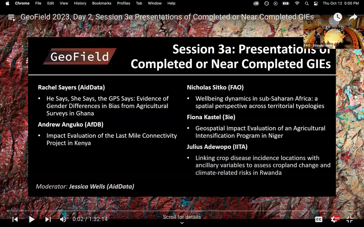
"Using remote sensing to support implementation & evaluation of agricultural support programs under conflict conditions in Ukraine."Rachel Sayers (AidData)
“He Says, She Says, the GPS Says: Evidence of Gender Differences in Bias from Agricultural Surveys in Ghana”
Andrew Anguko (AfDB)
“Impact Evaluation of the Last Mile Connectivity Project in Kenya”
Nicholas Sitko (FAO)
“Wellbeing dynamics in sub-Saharan Africa: a spatial perspective across territorial typologies”
Fiona Kastel (3ie)
“Geospatial Impact Evaluation of an Agricultural Intensification Program in Niger”
Julius Adewopo (IITA)
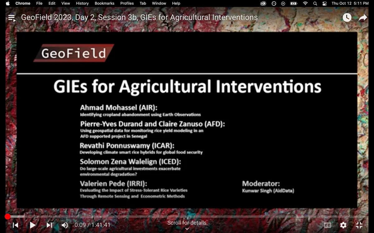
“Linking crop disease incidence locations with ancillary variables to assess cropland change and climate-related risks in Rwanda”Ahmad Mohassel (AIR):
“Identifying cropland abandonment using Earth Observations”
Pierre-Yves Durand and Claire Zanuso (AFD):
“Using geospatial data for monitoring rice yield modeling in an AFD supported project in Senegal”
Revathi Ponnuswamy (ICAR):
“Developing climate smart rice hybrids for global food security”
Solomon Zena Walelign (ICED):
“Do large-scale agricultural investments exacerbate environmental degradation?”
Valerien Pede (IRRI):
“Evaluating the Impact of Stress-Tolerant Rice Varieties Through Remote Sensing and Econometric Methods”Speakers/Panelists
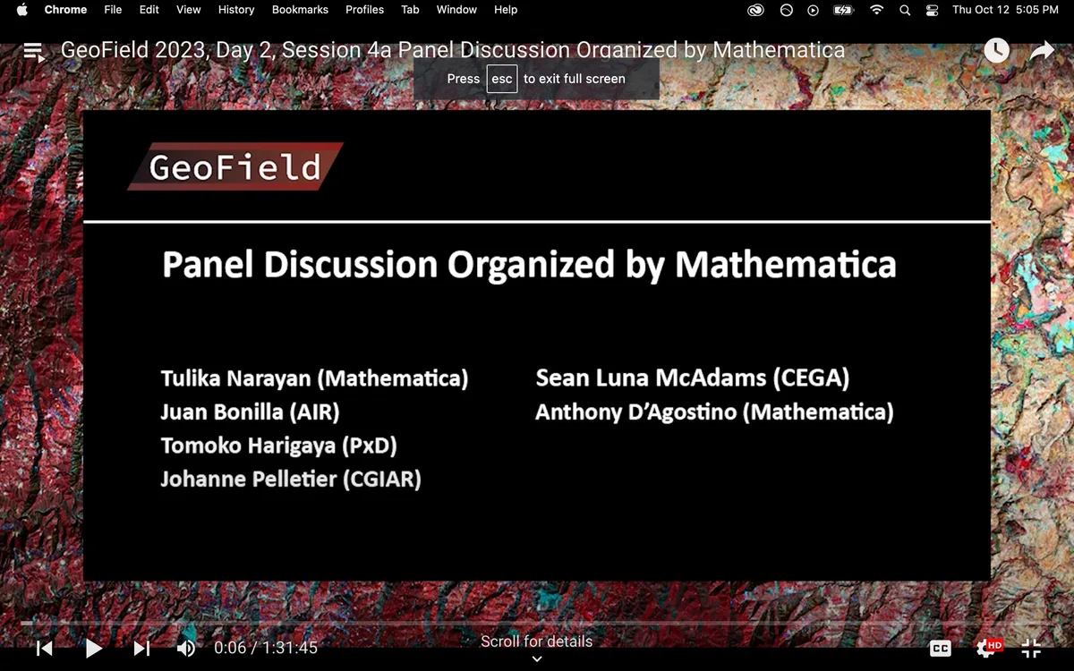
Tulika Narayan (Mathematica)
Juan Bonilla (AIR)
Tomoko Harigaya (Precision Development)
Johanne Pelletier (Standing Panel on Impact Assessment)
Sean Luna McAdams (CEGA, UC Berkeley)
Anthony D'Agostino (Mathematica)
Moderator: Tulika Narayan (Mathematica)Session Description
This panel discussions brings together evaluators, remote sensing experts, data science experts to elucidate the key challenges faced by evaluators in the use of remote sensing to measure agricultural outcomes and resilience; discuss some of the best practices, tools, and data sources that can resolve those challenges; and contribute to longer-term efforts through GeoField to consolidate guidance materials and recommendations to effectively integrate satellite data in resilience-focused research.
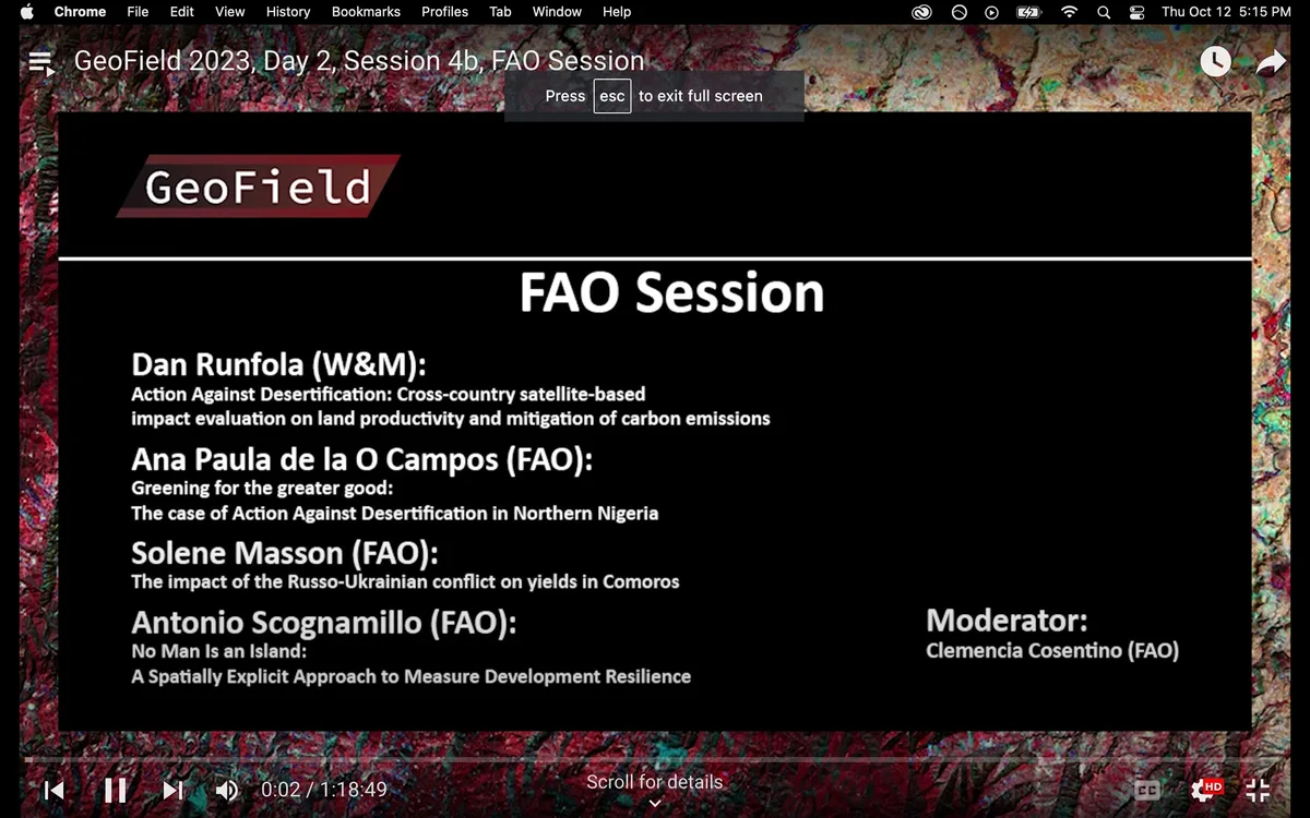
Luisa Belli and Dan Runfola:
“Action Against Desertification: Cross-country satellite-based impact evaluation on land productivity and mitigation of carbon emissions”
Ana Paula de la O Campos:
“Greening for the greater good: The case of Action Against Desertification in Northern Nigeria”
Solene Masson:
“The impact of the Russo-Ukrainian conflict on yields in Comoros”
Antonio Scognamillo:
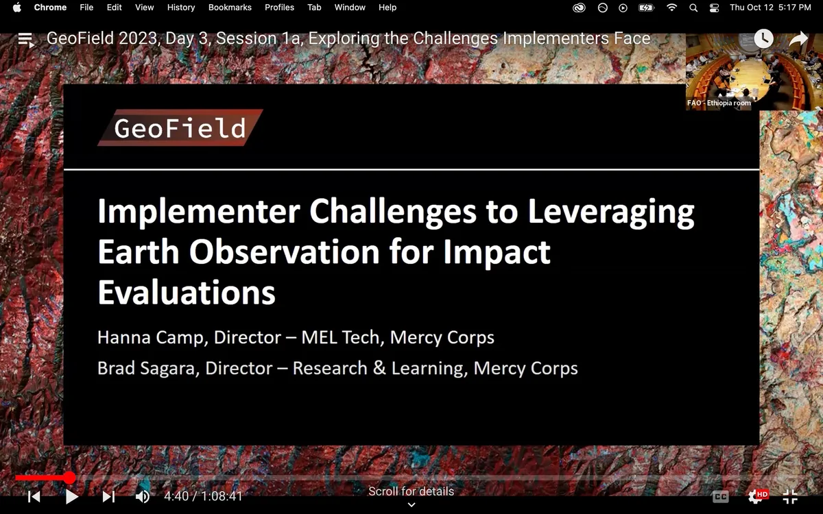
“No Man Is an Island: A Spatially Explicit Approach to Measure Development Resilience”Moderator: Hanna Camp (Mercy Corps),Brad Sagara (Mercy Corps)
Session Description
This Implementer-focused session will be a facilitated discussion about the challenges we experience in planning for evaluations, with a focus on challenges with evaluations that utilize geospatial methods. The session will be an open space to share previous successes or lessons learned in program evaluation and talk about how organizational capacity, sector, and size have affected the evaluation outputs. To close, we will discuss how we as implementers interested in improving our evaluation planning and preparation can best coordinate and share knowledge moving forward.
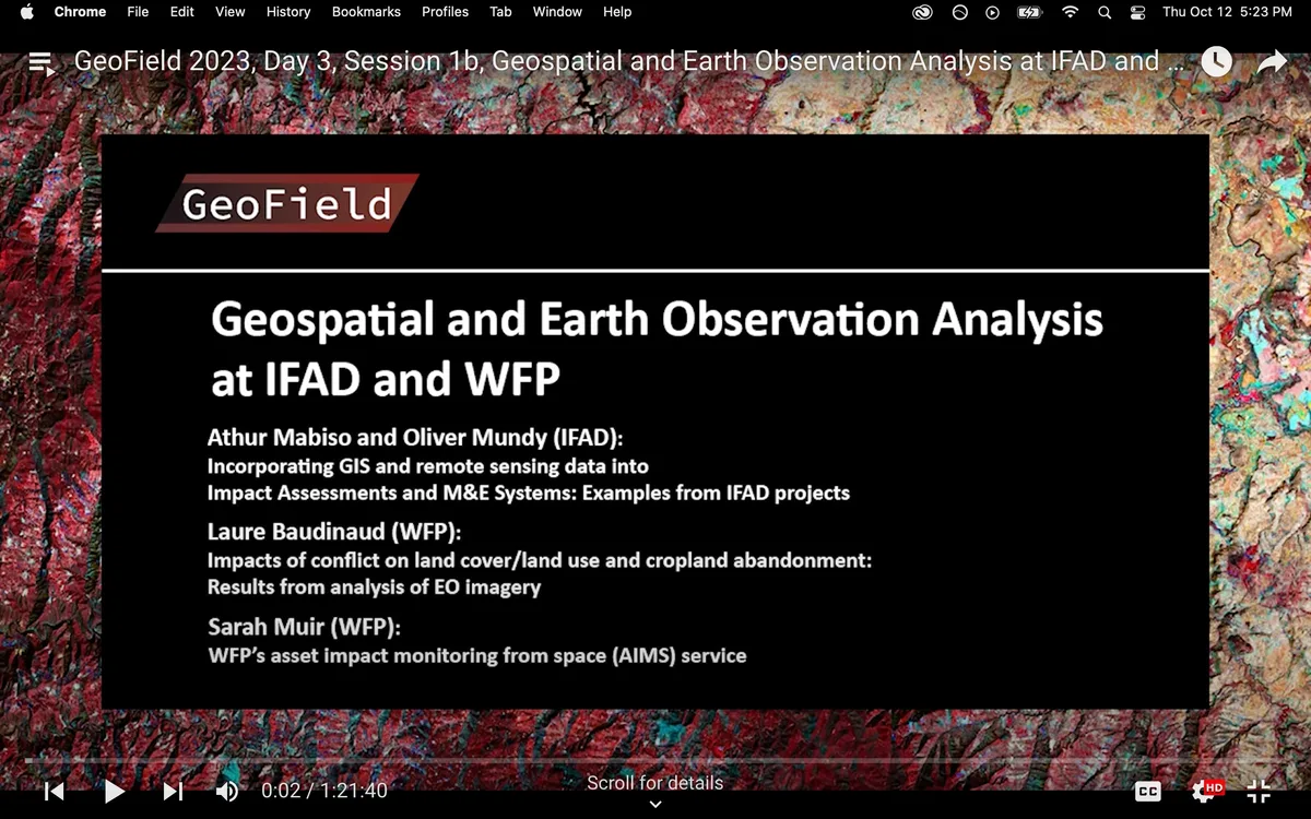
Athur Mabiso and Oliver Mundy (IFAD):
“Incorporating GIS and remote sensing data into Impact Assessments and M&E Systems: Examples from IFAD projects”
Laure Baudinaud (WFP):
“Impacts of conflict on land cover/land use and cropland abandonment: Results from analysis of EO imagery”
Sarah Muir (WFP):
“WFP’s asset impact monitoring from space (AIMS) service”Speakers/Panelist
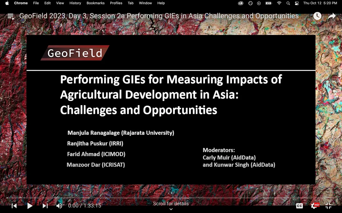
Manjula Ranagalage (Rajarata University)
Ranjitha Puskur (CGIAR, IRRI)
Farid Ahmad (ICIMOD)
Manzoor Dar
Moderators: Carly Muir (AidData),Kunwar Singh (AidData, William & Mary)Session Description
The panel spotlights GIEs as tools for understanding the multifaceted effects of agricultural interventions in Asia. This interactive session aims to facilitate knowledge exchange, providing participants a holistic view of how GIEs inform evidence-based policies and sustainable development strategies.
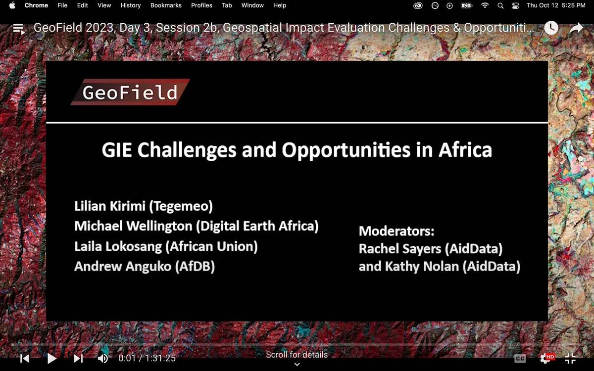
Speakers/Panelist
Lilian Kirimi (Tegemeo Institute)
Michael Wellington (Digital Earth Africa)
Laila Lokosang (Africa Union)
Andrew Anguko (AfDB)
Moderator: Rachel Sayers (AidData),Katherine Nolan (AidData, William & Mary)Session Description
Agricultural productivity and climate resilience are key to advancing economic development in Africa. This panel brings together evaluation experts to discuss the challenges and opportunities of utilizing GIEs in agricultural research in Africa. This interactive session aims to facilitate knowledge exchange and promote a frank discussion about the most promising innovations related to GIEs, as well as the biggest difficulties in utilizing them. As governments, organizations, and stakeholders seek to evaluate development programs and policies ever more effectively and efficiently, the insights shared during this panel will serve as stepping stones toward the uptake of GIEs in African agricultural development.
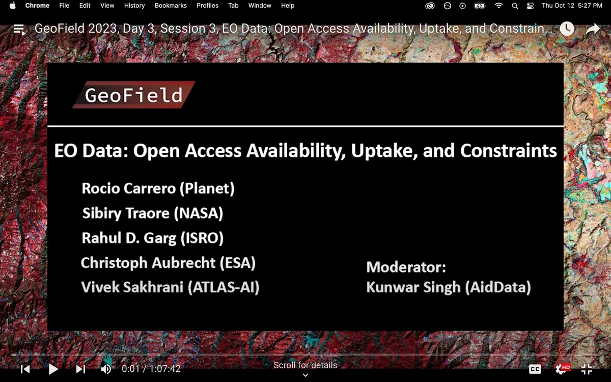
Speakers/Panelist
Rocio Carrero (Planet)
Pierre C. Sibiry Traore (ICRISAT)
Rahul D. Garg (IIT)
Christoph Aubrecht (European Space Agency)
Vivek Sakhrani (Atlas AI)
Moderator: Kunwar Singh (AidData, William & Mary)Session Description
Recent innovations in cloud computing, growing built-in data catalogs, and sophisticated methods to analyze Earth Observations offer opportunities to rigorously evaluate the impacts and cost-effectiveness of development interventions. The potential for Earth Observation to guide investments toward cost-effective interventions that are most likely to work, produce maximum benefits, and reach the most people has not yet been fully realized, though undisputedly needed. Several unanswered questions are befitting to this panel for discussion, such as, how Earth Observation has contributed to agriculture impact evaluations and what are the new prospects to increase its uptake to support the decision-making process, specifically in countries facing climate change at an accelerated rate?
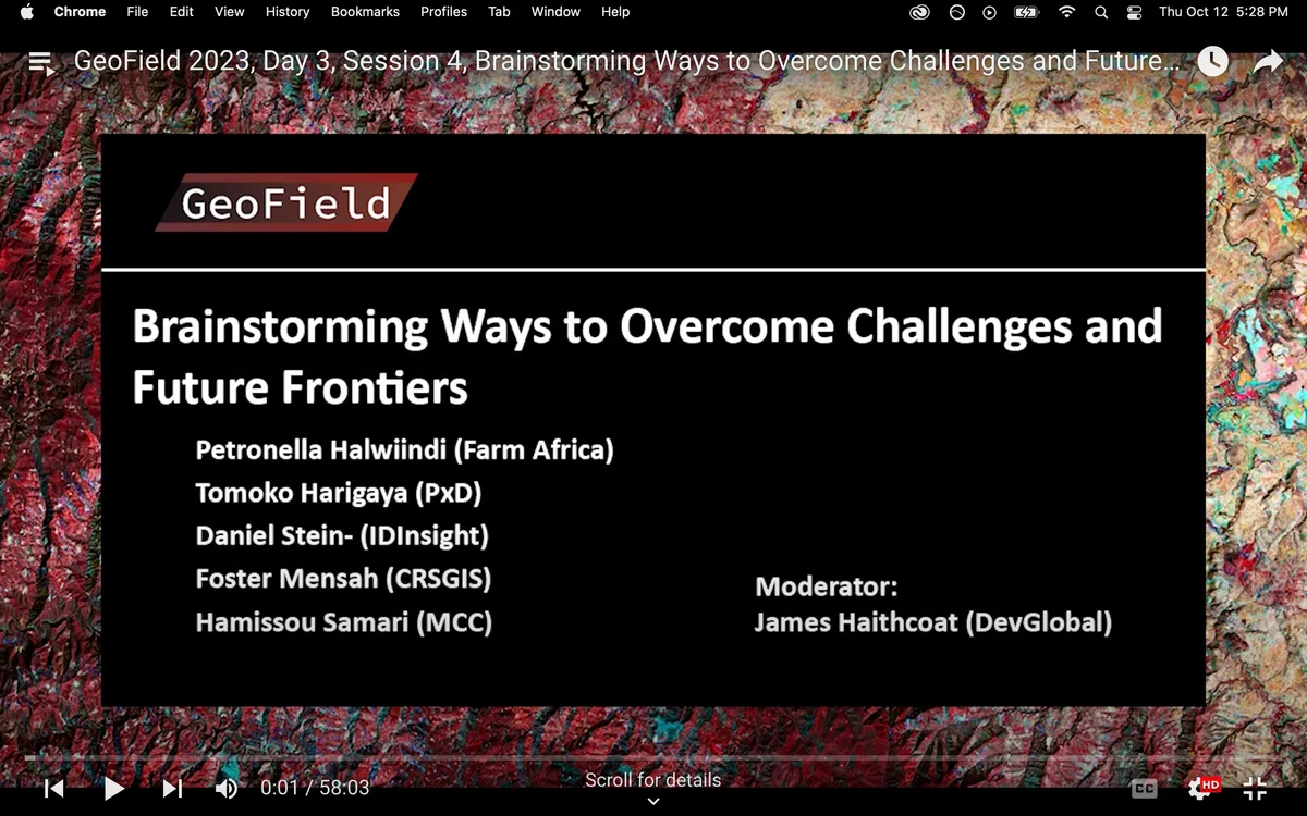
Speakers/Panelist
Petronella Halwiindi (Farm Africa)
Tomoko Harigaya (Precision Development)
Daniel Stein (IDInsight)
Foster Mensah (CRSGIS)
Hamissou Samari (MCC)
Moderator: James Haithcoat (DevGlobal)Session Description
Discussion about what to include in GeoField to help CoP undertake GIE
Speakers/Panelist
Ariel BenYishay (William & Mary)
Kunwar Singh (AidData, William & Mary)
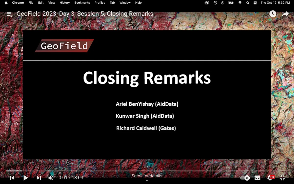
Richard Caldwell (Gates)Session Description
Dr. Ariel BenYishay (AidData), Dr. Kunwar Singh (AidData), and Richard Caldwell (Gates) will provide closing remarks.
Speakers and Panelists
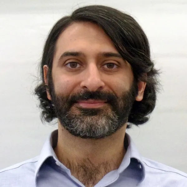
Ahmad Mohassel
Senior Data Scientist
American Institutes for Research (AIR)
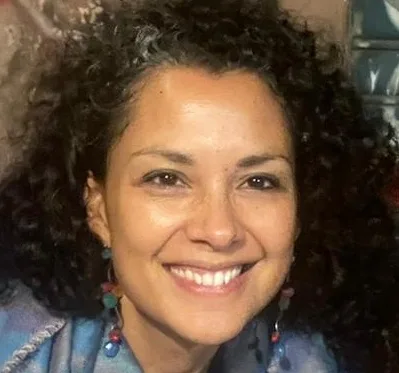
Ana Paula de la O Campos
Economist
Food & Agriculture Organization (FAO)
Andrew Anguko
Chief Quality and Methods Advisor
African Development Bank
Anthony D'Agostino
Senior Researcher
Mathematica

Antonio Scognamillo
Economist
Food & Agriculture Organization (FAO)
Ariel BenYishay
Chief Economist
AidData

Brad Sagara
Director for Research and Learning and lead on the USAID-funded Resilience, Evaluation, Analysis and Learning award (REAL)
Mercy Corps

Carly Muir
Geospatial Analyst
AidData
Clemencia Cosentino
Director of FAO's Office of Evaluation (OED)
Food & Agriculture Organization (FAO)
Daniel Runfola
Associate Professor of Applied Science and Data Science
William & Mary
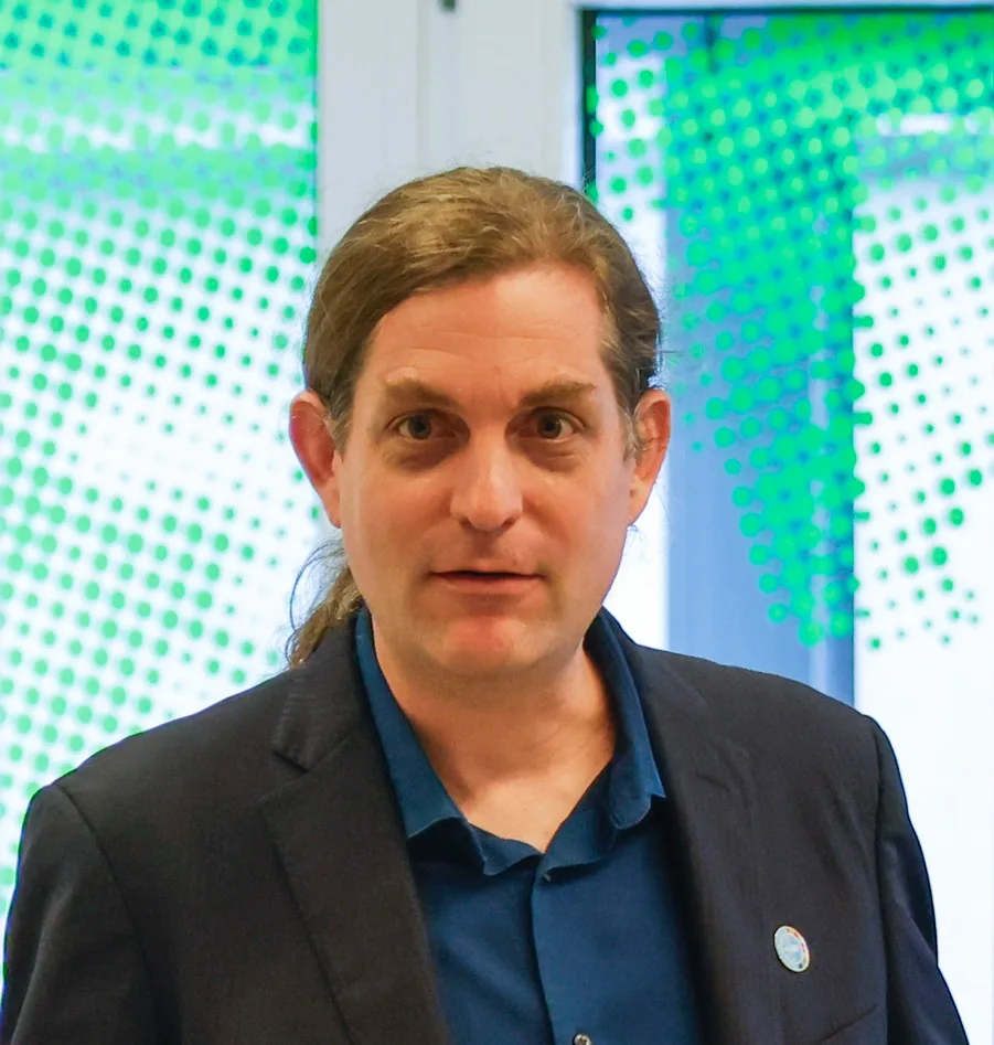
David Laborde
Director for Agrifood Economics Division
Food & Agriculture Organization (FAO)
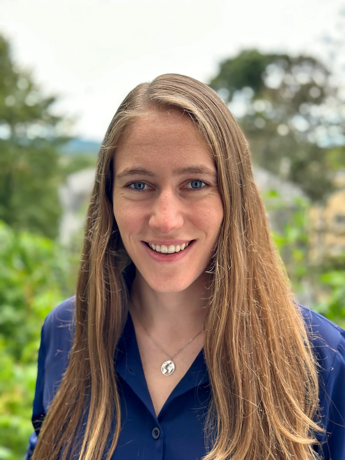
Fiona Kastel
Research Associate
International Initiative for Impact Evaluation (3ie)
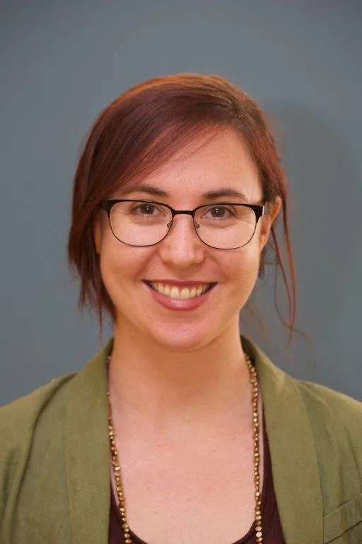
Hanna Camp
Director of MEL Technologies
Mercy Corps

James Haithcoat
Principal Consultant
DevGlobal
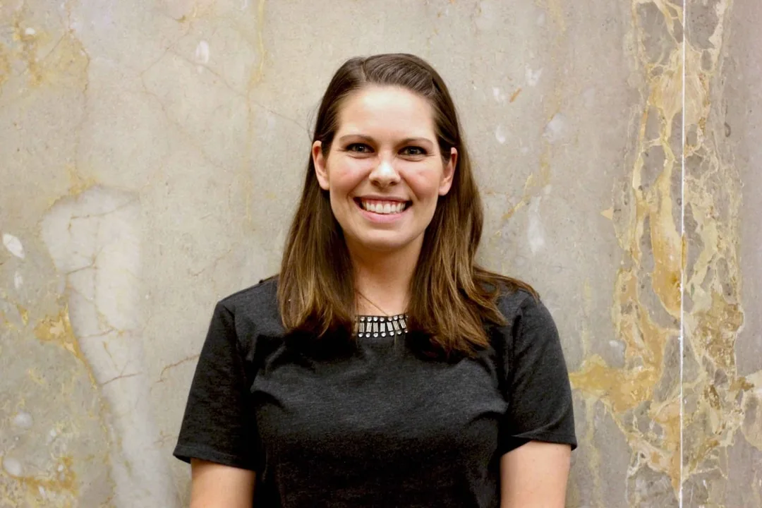
Jessica Wells
Research Scientist
AidData
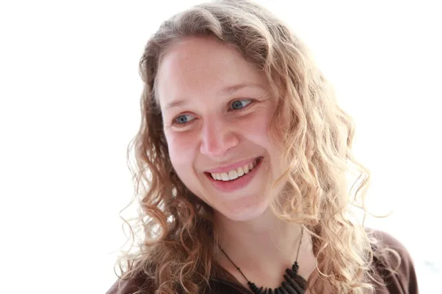
Johanne Pelletier
Consultant
CGIAR Standing Panel on Impact Assessment (SPIA)
Julius Adewopo
Postdoctoral Fellow and Geospatial Analyst
IITA

Karl Morteo
Information Systems Manager
Foood & Agriculture Organization (FAO)
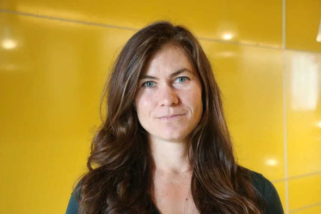
Katherine Nolan
Research Scientist
AidData
Klaus Deininger
Lead Economist
World Bank
Kunwar Singh
Senior Geospatial Scientist and Affiliate Faculty
AidData & William & Mary
Lilian Kirimi
Senior Research Fellow and Research Coordinator
Tegemeo Institute of Agricultural Policy and Development
Luisa Belli
Evaluation Officer
Food & Agriculture Organization
Manjula Ranagalage
Professor in Environmental Management
Rajarata University of Sri Lanka
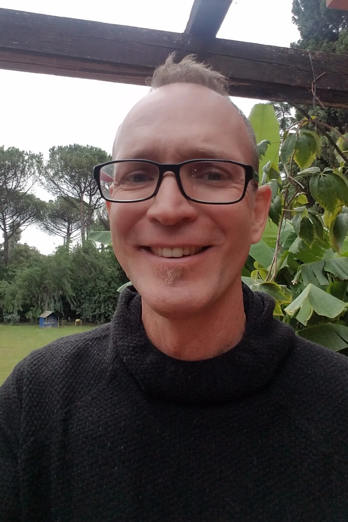
Nicholas Sitko
Senior Economist
Food & Agriulture Organization (FAO)
Pierre-Yves Durand
Evaluation Officer
French Development Agency (AFD)
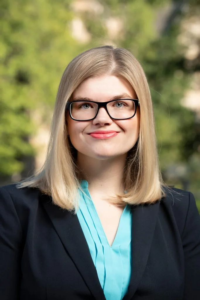
Rachel Sayers
Research Scientist
AidData
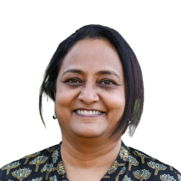
Ranjitha Puskur
Senior Scientist
International Rice Research Institute (IRRI)
Richard Caldwell
Senior Program Officer, Strategic Planning and Management-Agricultural Development
BMGF
Rocio Carrero
Customer Success Manager for Education & Research
Planet
Sean Luna McAdams
Program Manager
Center for Effective Global Action (CEGA)
Seth Goodman
Research Scientist and Data Engineer
AidData
Solène Masson
Research Economist
Food & Agriculture Organization (FAO)
Solomon Zena Walelign

Tomoko Harigaya
Chief Economist and Director of Research
Precision Development (PxD)
Tulika Narayan
Climate Change Practice Lead
Mathematica
Vivek Sakhrani
VP of Data & Analytics
Atlas AI