Event speakers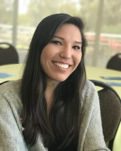
GeoField event speaker
Lauren Sharwood
Lauren is an Associate Remote Sensing Specialist at emLab working on projects that combine econometric methods of causal inference with Earth observation data to gain insights into how communities around the world use and conserve natural resources. Lauren uses satellite imagery to map land use and land cover change, crops, and sustainable agriculture practices. Before working at emLab, she used high-resolution airborne imagery and lidar to map vegetation across North America. Lauren holds a B.A. in Environmental Studies and Geography from UC Santa Barbara and a M.S. in Geography from Portland State University. In her free time, Lauren enjoys cooking, running, biking, and exploring the outdoors with her dog, Ruthie.